
Each week, the Fisher Library highlights an item from one of its many collections that are digitized and made available through the Internet Archive. This week, Rachael takes a look at a book from our Canadiana Collection.
It is mid-July and well into the Summer season, and for many of us the idea of Summer travel is still off limits. For those who are looking to travel from the comfort of their home, “The Home Knowledge Atlas: Geographical, Astronomical, Historical,” allows readers to travel around the world without having to go anywhere. According to the subtitle of the book, it contains “the greatest number of maps of any atlas published in the world. Containing a complete gazetteer showing all the cities, towns, villages, and post offices in the Dominion of Canada and the United States. Fully indexed. Compiled from the latest and most authentic sources.” The book was published in Toronto by the Home Knowledge Association in 1892.
The book begins with a publishers’ preface. “In every home and at every place of business, a Dictionary, an Encyclopedia and an accurate Atlas must ever stand first among the important books of reference. At no previous time in the world’s history has the importance of a knowledge of physical, political and commercial geography, and the history of the nations of the world, been more necessary than now.” The author implores that books of this nature are integral, that the dissemination of information is crucial to the advancement of society. The author goes on to explain that because of all the rapid changes occurring during this time, it is critical that everyone stay abreast of current geography, history, and politics.
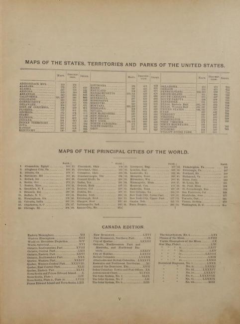
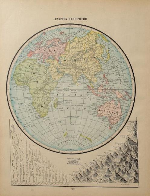
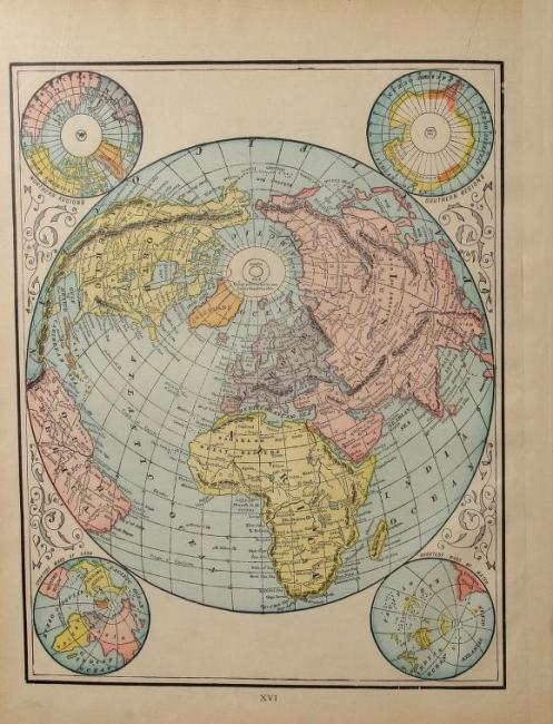
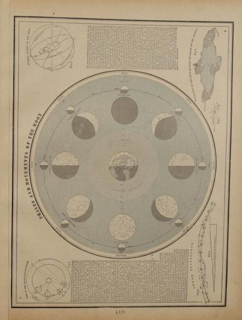
While there is no table of contents in this book, there is an index. Following the preface there is an index of all the maps in the book with their corresponding page numbers. There is also an index of charts and diagrams, tables of reference, and of course dozens of maps. If one is looking to send any postage anywhere in Canada, there is also a complete list of post offices for the entire country as of 1887. In addition to maps of every province, there are also illustrated maps of the solar system, phases of the moon, and star maps.
With all of the maps and directories contained in "The Home Knowledge Atlas" is an excellent guide (for 1892) to follow and travel around the world.