Every Monday, the Fisher Library highlights its holdings on the Internet Archive. This week, Rachael takes a look at cottage country.
If you have ever been to Muskoka then you can surely attest to its natural beauty, abundant wildlife, and its endless number of tourist attractions. Muskoka’s current tourism guidebook describes the region as “Ontario’s playground for over a century.” Muskoka has long been equated with the idea of freedom from the particulars of everyday life and enjoying all the splendour that nature has to offer. If you are feeling blue that cottage season is coming to an end and you did not get to visit the region this year, perhaps the following book will help transport yon to Muskoka in spirit.
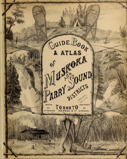
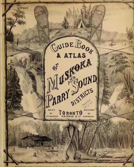
In 1879, a guidebook of Muskoka and the surrounding area was produced by John Rogers, S. Penson, H.R. Page, and William Edwin Hamilton. The roughly 154-page directory contains detailed descriptions of each township in the Muskoka area such as Parry Sound Village and Carling. It also includes dozens of maps, a list of post offices, sketches, and a handy appendix.

The book begins with a brief table of contents where the page numbers for maps and a list of post offices are provided. It then launches into a history of the district written by Hamilton. The history of Muskoka as presented in this guide draws heavily from the expedition of Samuel De Champlain and his interactions with the local Indigenous communities. The back of the book contains an appendix of quick information for travellers to Muskoka. Appendix A provides readers with extracts from the Free Grant Act of 1868 as well as orders and regulations made under the Free Grants and Homestead Act of 1868. These acts were in place to protect Muskoka’s natural landscape as well as the rights of those who owned land in the area. Appendix B and C are focused on close seasons for game hunting and fishing, as Muskoka and the surrounding area were well-known to travellers for having an array of wildlife.
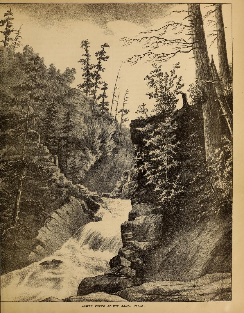
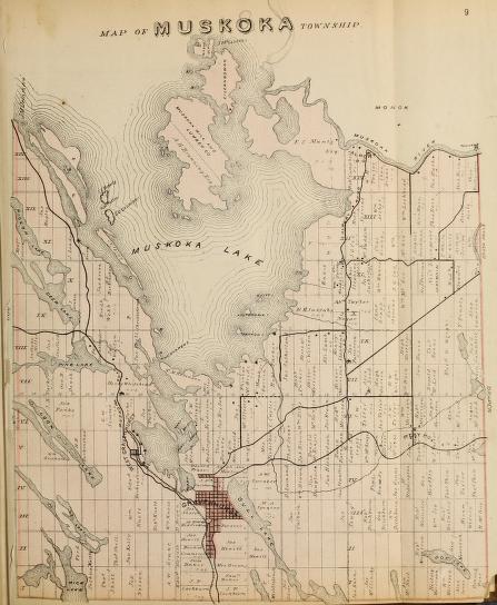
On the other side of all the appendices and histories of Muskoka, the remainder of the guidebook is filled with images of intricate and detailed maps. A map for every region in Muskoka is included a long with sketches of nearby trails and waterfalls. According to its creators, a guidebook containing maps of the Muskoka region was sorely needed by its frequenters. “…. another very important and increasing multitude make Muskoka their temporary home – we mean the tourists, those birds of passage, who, like the swallows, annually cool themselves by a migration to our norther fastnesses, and depart refreshed.” All these visitors with one consent cry out, “Give us maps, give us something descriptive of Muskoka to guide us before we start for the North, and to retain as a souvenir of our journey.” Now, with atlas in hand tourists and hunters alike could navigate their wild surroundings and truly enjoy everything the region has to offer, without getting lost in the bush! .


Nineteenth-century travel writing was often characterized by its promotion of values such as expedition and heroism. While traveling to Muskoka would certainly be an expedition, having a set of maps and images helped create a sense of leisure as your surroundings would no longer be a mystery. It was not so long ago that travel required long planning, large expenses, enormous investments of time, and even risks to one’s health and life. Travel guides allowed for a reduction of danger and promoted leisurely exploration like never before. So if you have never been to Muskoka before, Hamilton’s poetic words should encourage you to pack your bags. “To the artistic eye of the traveller who hungers after tit-bits of forest vista, and thirsts for glimpses of far off and half-concealed islands, Muskoka is a thing of beauty and a joy not soon to be forgotten.”
-Rachael Fraser, TAlint Student
